


About the Meitzar Riverbed: It’s a whole different kind of world in the Meitzar Riverbed. The water that flows here supports rich plant life – willow, raspberry, cane, reeds, oleander, and much more.
But the riverbed’s greatest asset – at least in the eyes of most hikers – is the blooming of its winter and spring wildflowers. From February to April, the riverbed is full of a rainbow of color, thanks to anemones, cyclamen, poppies, and more.
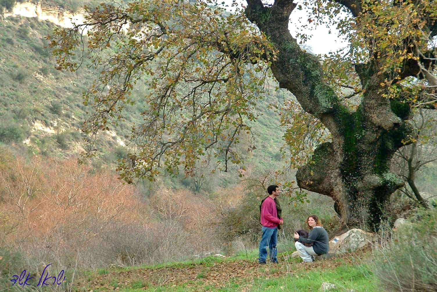
Hike description: The path descends steeply, straight into the riverbed of Wadi Barbara – Arabic for “the noisy riverbed.” This ravine is a tributary of the Meitzar Riverbed, known in Hebrew as Nachal Meitzar. The path crosses the ravine and continues to descend to the southern bank. Many Tabor oak trees dot the area, giving life and shade to all who seek it.
After about 2 kilometers, Wadi Barbara meets Nachal Meitzar. The slopes around us are covered in a “park forest” of huge oak trees (huge by Israeli standards); entire groups of hikers can rest beneath them. The trail continues and nears the riverbed, and then ascends steeply to the old border road. From here, there’s a descent towards the left to the parking lot, where a car that you hopefully left here will pick you up.
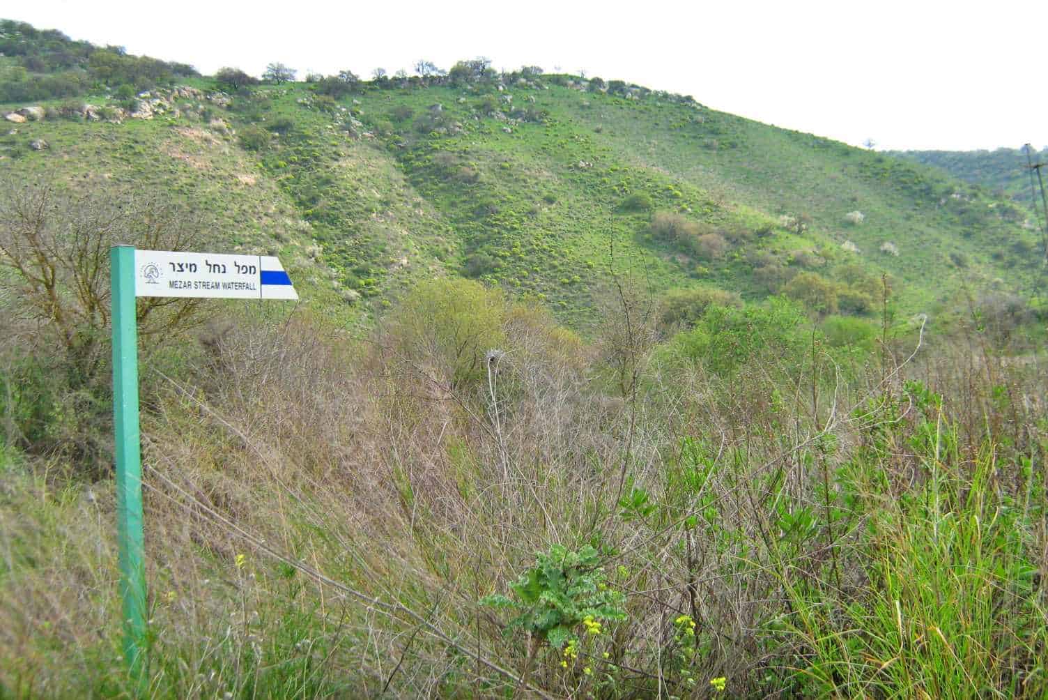
From the parking area, you have the option of descending even further down the riverbed, on the right-hand side of the ravine. After about 15 minutes of walking, you will reach a lookout point with a great view of the beautiful waterfall of Nachal Meitzar, which falls from a height of 9 meters to a pool beneath it. It is forbidden to continue on the trail to the pool; instead, one must return up the path to the parking lot.
Safety Rules:
*Due to the presence of various minefields in the Golan, it is forbidden to cross fences and/or wander off the hiking trail.
*It is forbidden to enter IDF firing zones.
*There are many cattle fences in the Golan. If you enter a gate on the trail, please close it behind you. Do not climb on the fence, and do not cut or harm the fence in any way.
*Be extremely careful when crossing or walking on roads.
*Overnight camping is allowed in official campsites only! It is forbidden to sleep in the middle of a trail or in a makeshift campsite.
*Do not burn toilet paper. Do not light a fire under trees. Do not leave a fire unattended!
*Make sure you carry out all of your trash, and keep nature clean!


Link to Website/Facebook Page