
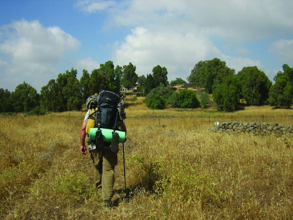
Segment #1: From Mt. Hermon to the Yaafuri Valley
A taste of Hermon in Nachal Govta, a scenic view from Maaleh Golani, the Druze village of Majdal Shams, and the Yaafuri Valley. Difficulty: from
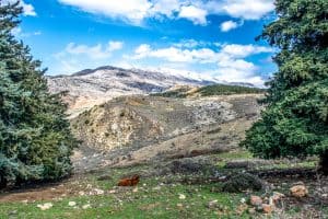
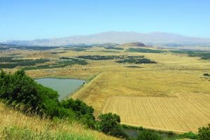
Segment #2: From the Yaafuri Valley to the 7th Brigade Recon Memorial.
A lookout over the “Blue Eye” of Birket Ram, an enchanted forest, and a climb up Mt. Odem. Difficulty: From north to south – medium;
Segment #3: From the 7th Brigade Recon Memorial to Bab el-Hawa
A hike through vineyards, memorial sites in the Valley of Tears, and 1500 years of history at the Gate of the Winds. Difficulty:
Segment #4: From Bab el-Hawa to the Ein Zivan Campsite
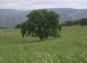
A water reservoir, walking on volcanoes, and a beautiful oak forest Difficulty: From north to south – medium/difficult; from south to north – medium/difficult. Duration
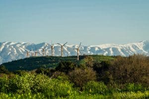
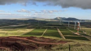
Segment #5: From the Ein Zivan Campsite to Mt. Hozek
Hike between apple orchards, wind turbines, and Mediterranean trees and bushe Difficulty: From north to south – medium; from south to north – easy Duration
Segment #6: From Mt. Hozek to the Hushniya Ruins
From the Bashanit Range with stately oaks, via the Golan Iris Nature Reserve, to the ruins of a Circassian mosque. Difficulty of hike: From north
Segment #7: From the Hushniya Ruins to Um el-Dananir
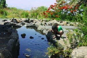
Ruins of ancient villages, flowing springs, and wide-open spaces. Difficulty: From north to south – easy; from south to north – easy Duration of hike:
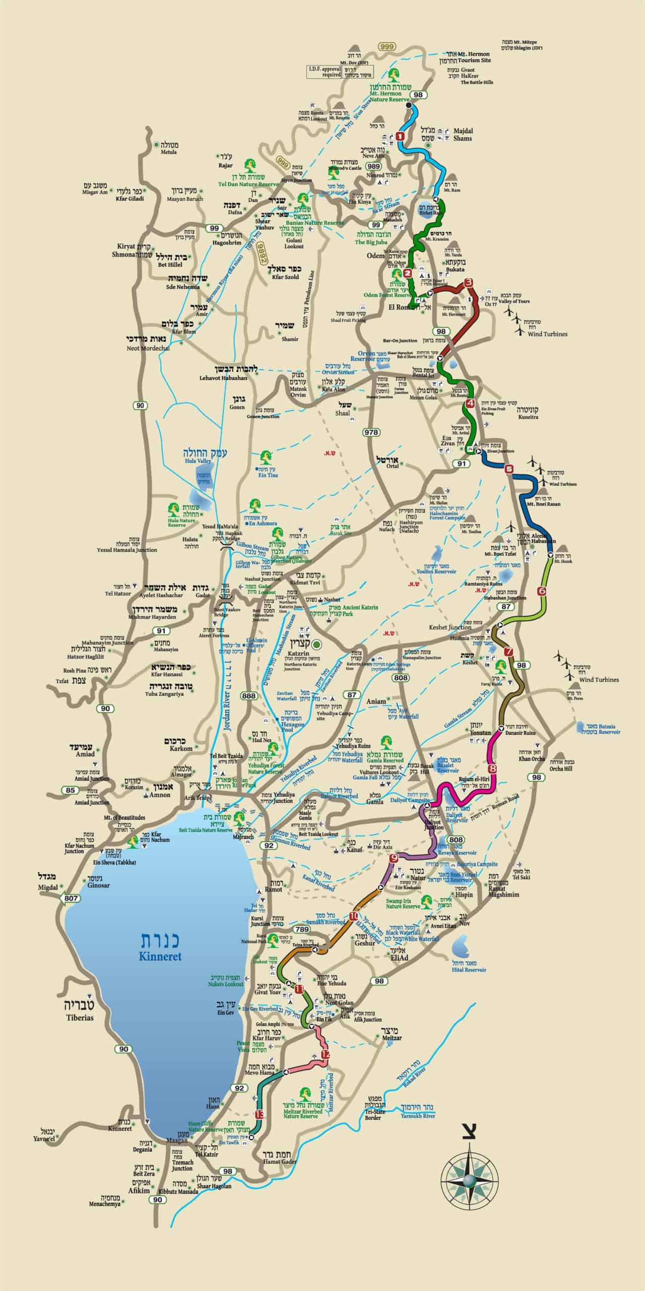
Segment #8: From Um el-Dananir to the Daliyot Campsite
Flat plains of the central Golan, grazing horses, and mysterious circles of ancient rocks Difficulty: From north to south – easy; from south to north
Segment #9: From the Daliyot Campsite to Ein Keshatot
The Grand Canyon of the Golan, a Syrian Bridge to Divert the Jordan River Headwaters, and a Magnificent Ancient Synagogue. Difficulty: From north to south
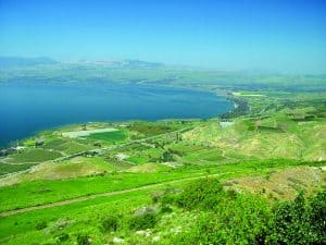
Segment #10: From Ein Keshatot to Mitzpe Ofir
From Ein Keshatot to Mitzpe Ofir: Beautiful Natural Views of Nachal Samakh, Pools at a Riverbed Junction, and a Lookout towards Lake Kinneret. Difficulty: From
Segment #11:From Mitzpe Ofir to the Golan Amphitheater
Views of Lake Kinneret, Nachal Ein Gev, and the Watershed Difficulty: .From north to south – medium; from south to north – medium Duration of
Segment #12: From the Golan Amphitheater to Mevo Hama
An Oak Forest at the Narrow Waist of the Golan, a View Towards the Yarmukh River, and a Peak Towards our Neighbors in the East
Segment #13: From Mevo Hama to Ein Akub (Ein Tawfik)
500 Meters above Lake Kinneret on a Paragliders’ Cliff, and a Refreshing Spring Difficulty: From north to south – easy; from south to north –
