The Grand Canyon of the Golan, a Syrian Bridge to Divert the Jordan River Headwaters, and a Magnificent Ancient Synagogue.
- Difficulty: From north to south – difficult; from south to north – medium
- Duration of hike: A half-day trip
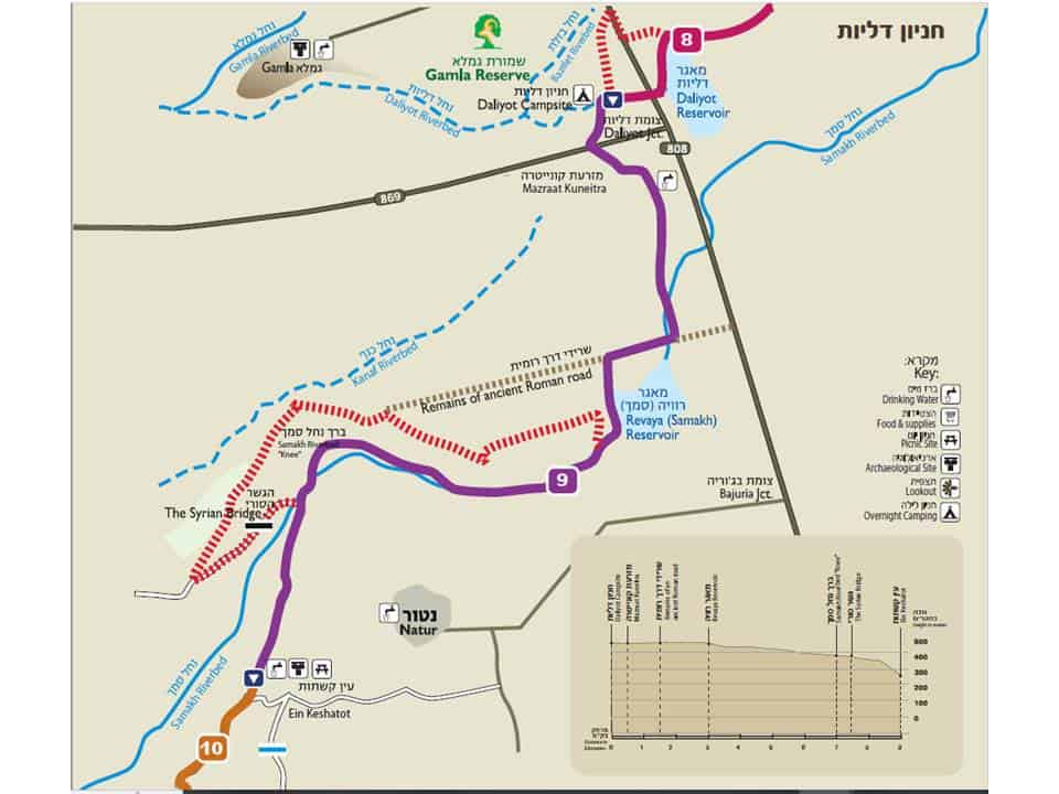
- Length of hike: 9 kilometers
- Drinking water: About 1 kilometer after the beginning of the hike, there’s a sign for drinking water. A second faucet is at the end of the hike, next to the lower gate of Ein Keshatot.
- Food and supplies: Natur (a short diversion from the trail)
- Recommended campsite: Daliyot campsite
- Recommended seasons for hiking: Spring, summer, and fall
The Hike:
This segment of the hike passes through Nachal Samakh, which is the longest riverbed in the Golan. The Arabic name “Wadi Samakh” means “the riverbed of the fish”, and this refers to the large schools of fish that can be found at the mouth of the riverbed, where it flows into Lake Kinneret.
We will hike on an ancient Roman road paved with stones. This might have been part of the ancient road that connected the Kinneret area to Damascus. The path ascends the banks of the Revaya Reservoir, and offers a nice view of the entire region.
The trail descends to the Nachal Samakh riverbed. In the winter and spring, colorful flowers bloom here and add much beauty to the hike. We will stop to rest under the “Syrian Bridge”, under which the cool waters of the riverbed flow. This bridge was part of the Jordan River Headwaters Diversionary Project, which was planned in the 1960s to take the waters of the Banias and Hatzbani Rivers, prevent them from flowing towards Israel, and divert them instead to Syria. This plan brought about military activities that were named “The Battle Over the Water”. In this area, Israeli air force planes bombed the heavy machinery that was used to dig the diversionary canal.
The hike ends close to the Ein Keshatot National Heritage Site. A visit here is recommended; there’s an impressive ancient synagogue and an arched spring complex that makes the climb worth it.
Arrival:
Daliyot campsite – From Daliyot Junction (where Road 808 meets Road 869), drive on Road 869 for about 700 meters, and the campsite will be on the northern side of the road (on the right).
Ein Keshatot – Drive north from Hispin on Road 808, and turn west (left) to Natur. After 3.2 kilometers, turn south (left) on the road, and continue driving until you reach the entrance to the Ein Keshatot site (since the gate to Ein Keshatot is locked after opening hours, leaving your car inside the gate is not recommended). From here, descend by foot on a jeep road, adjacent to the site’s fence, until you reach the Golan Trail.
Note: There is an entrance fee to Ein Keshatot. You can enter the lower gate of the site that is next to the village spring; you’ll find an intercom there that can open the gate for you during the site’s opening hours. For more information, see www.einkeshatot.org.il.
Public transportation: There is bus service to Daliyot Junction. From there you can walk a little more than 500 meters to the campsite. For bus details, see: www.golan.org.il/bus.
Hiking Rules & Safety:
*In the Golan, it is strictly forbidden to cross fences or wander off the marked trail; in a number of places, the path goes near minefields.
*It is forbidden to enter IDF live-fire training areas.
*In the Golan, you will see many cattle fences; make sure you cross only at the official crossing points. Open the gate, and remember to close it behind you! It is forbidden to climb or cut fences.
*Be very careful when crossing or walking on roads.
*Overnight camping is allowed only at official campsites. Don’t camp out in the middle of a trail segment, or anywhere that is not an approved campsite.
*It is strictly forbidden to burn toilet paper. Don’t light a fire under trees, and never leave a campfire unattended.
*Make sure you take your trash with you, and leave sites cleaner than when you arrived.
Thank you, and enjoy your hike!
לינה
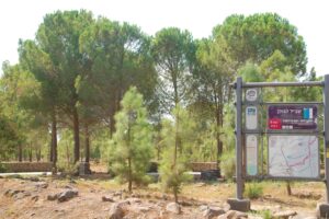
חניון דליות
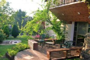
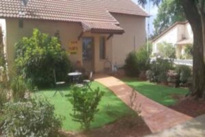
חניון גדול ומסודר בחורשת קק”ל סמוך לכביש 869 וצומת דליות. במקום- חניה גדולה, שולחנות, פחי
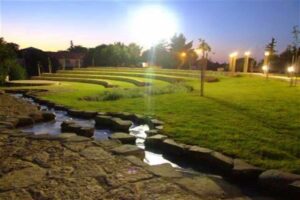
אוכל
אטרקציות
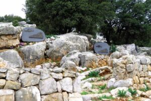
Memorial Site for the Fallen Soldiers of the Egoz Reconnaissance Unit
Background: In the past, the Egoz Unit functioned as a reconnaissance unit for the Northern


