
Background
Susita is first mentioned concerning the campaign of the Hasmonean King Alexander Yannai in the beginning of the 1st century BCE. The city’s Greek name was “Antioch Hippos”. In the year 63 BCE, the Roman general Pompey conquered the city, as well as the entire area surrounding it, and annexed it to the Roman Empire. Thus Susita became part of the “Decapolis” – the Roman-Era term used for the ten cities that were Greek cultural centers in the midst of an area populated mainly by Semitic peoples. The city was granted autonomy; this status brought about local economic growth, and allowed them to mint coins with the city’s symbol: a horse.
From the writings of ancient historian Josephus Flavius, we understand that Jews did indeed live in Susita, despite the pagan majority in the city. Under Roman rule, the city grew and developed; Susita continued to exist even after the Muslim Conquest. However, after the terrible earthquake throughout Israel in the year 749 CE, the city was abandoned, never to be populated again. In 1937, the members of Kibbutz Ein Gev founded their new village at the foot of Susita (as part of the “Tower & Stockade” project), but the lone Jewish presence in the area was constantly attacked by gangs. Mt. Susita looms over Kibbutz Ein Gev, and during the War of Independence a group of civilians from the kibbutz ascended to the mountain by night, and succeeded in capturing it. One can still clearly see the IDF fortifications and forward positions that stood opposite the Syrians until the 1967 Six-Day War.
Visiting Susita
While visiting Susita, you can walk through the ancient city, and also take in some breathtaking views. First of all: Do not cross any fences or barbed wires! There is a danger of mines outside these areas.
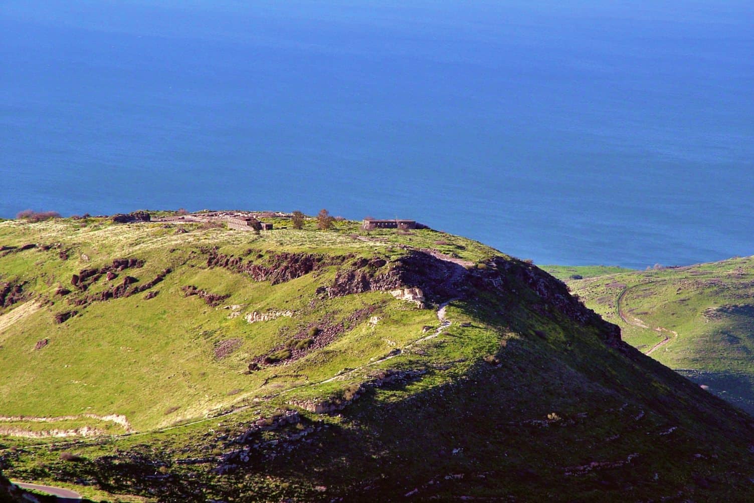
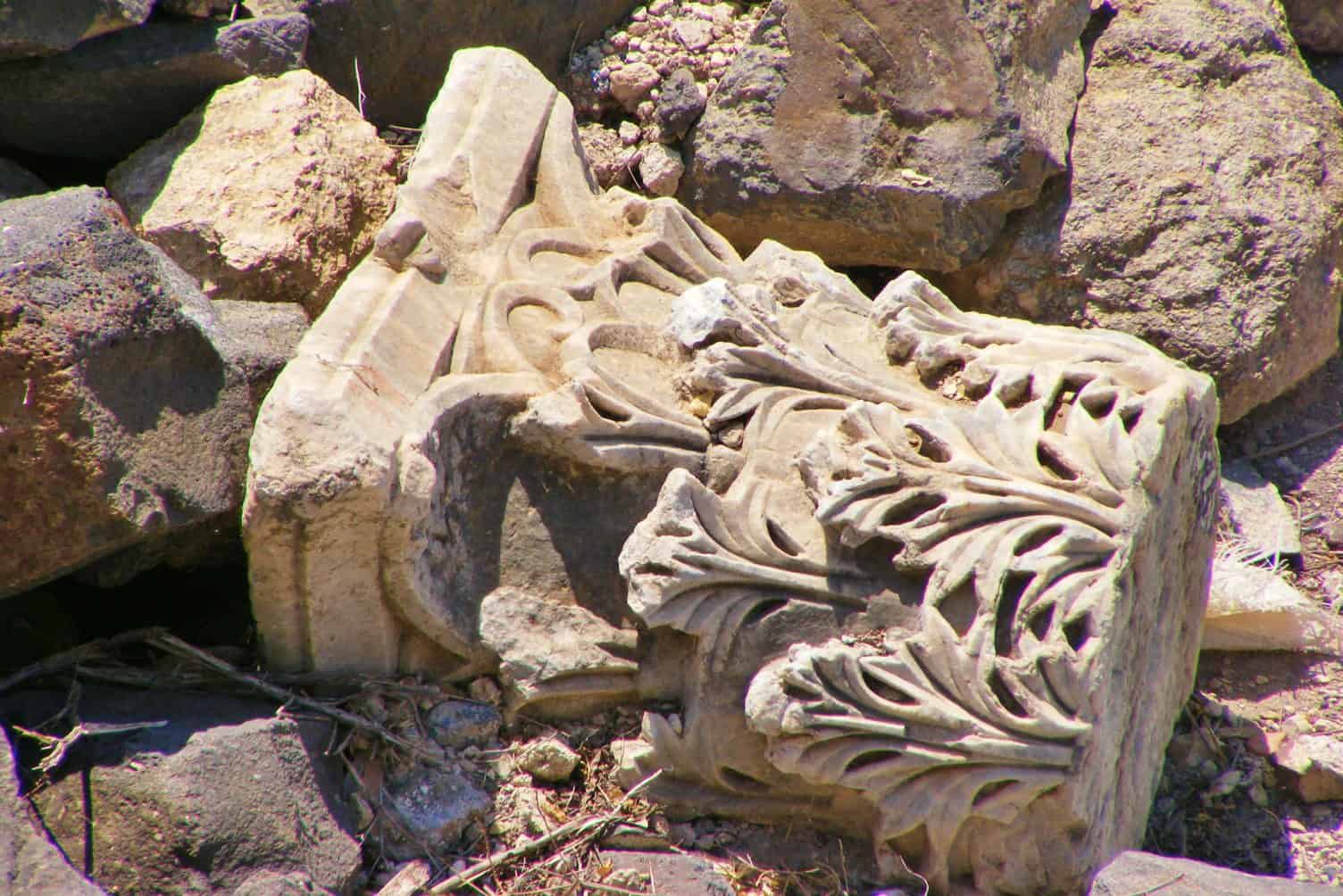
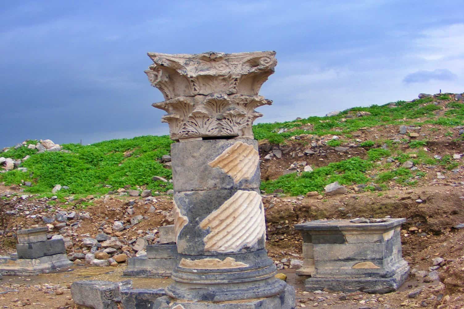
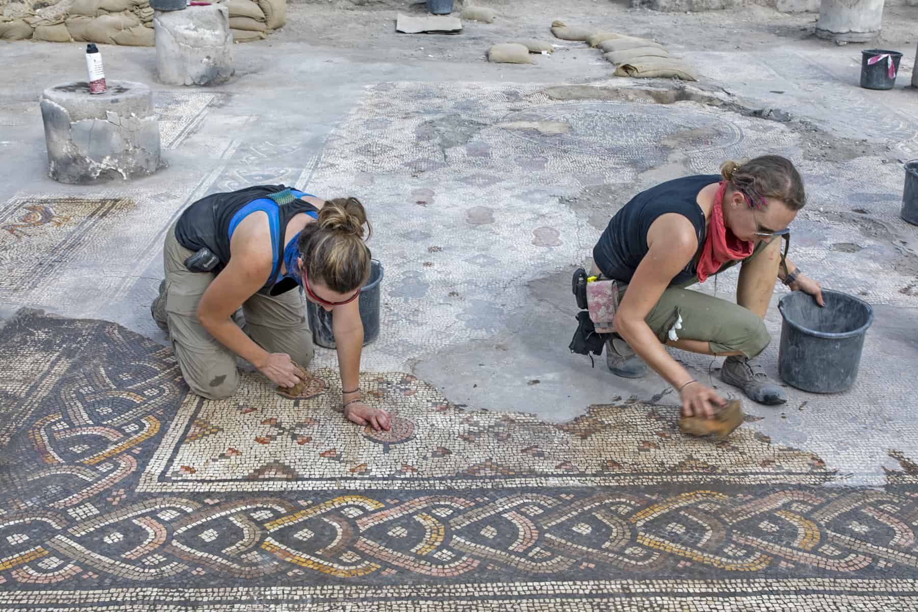
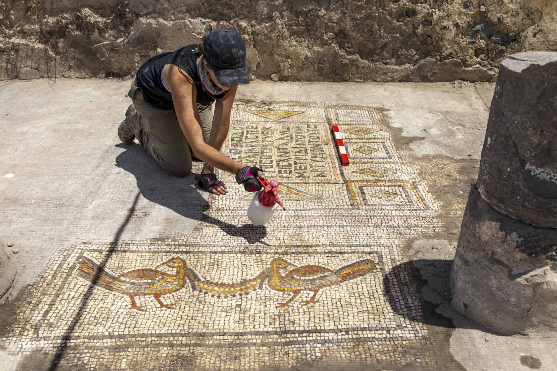
The visit begins at the “saddle” – the narrow strip of land that connects the main road to the ancient city. This “saddle” crosses a moat, which was hewn out of the ground in order to help defend the city from attack; the path then climbs to the city’s main entrance gate. In essence, a visit to Susita entails crossing the city via the ancient east-west road known as “Decumanus Maximus”. Where this road crosses the north-south axis (the “Cardo”), you will notice the Forum; this is an open space at the city’s main intersection in which statues were placed, underneath of which is a huge water cistern. Among the destroyed ruins of the city, one can see the remnants of temples, churches, a theater, mosaic floors, and bathhouses. But more than anything else, the real evidence of Susita’s wealth can be found in the remains of a 25 kilometer aqueduct, that brought water to the city from the “Black Waterfall” in Nachal El Al in the southern Golan.